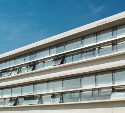
Geotechnical site investigation is the cornerstone of every structurally sound construction project, yet conventional approaches—such as borehole drilling and standard laboratory testing—often require significant time, labor, and expense. Today’s cutting‑edge techniques deliver faster, richer subsurface data with minimal disruption.
High‑resolution electromagnetic induction mapping reveals soil stratification and hidden utilities without invasive drilling. Cone Penetration Testing (CPT and CPTu) provides continuous, in‑situ readings of soil resistance and pore pressure, enabling precise soil classification. Drone‑mounted LiDAR generates detailed terrain models and identifies subtle surface shifts. By leveraging these advanced tools, engineers can develop more reliable foundation designs, reduce environmental impact, and accelerate project schedules.
Below are some of its major features:
-
Electromagnetic Induction Mapping
Provides rapid, non‑invasive imaging of soil strata and buried utilities, minimizing drill‑hole requirements and site disruption. -
Cone Penetration Testing (CPT & CPTu)
Delivers continuous, in‑situ measurements of soil resistance and pore pressures, allowing precise soil classification and foundation design. -
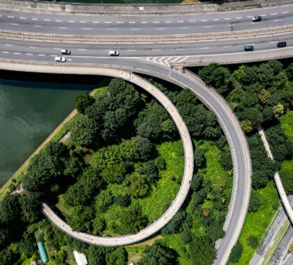
Drone‑Mounted LiDAR Surveys
Creates high‑resolution terrain models and detects subtle surface deformations, enhancing slope stability analysis and site planning.
Key Benefits in Brief
Harnessing advanced geotechnical methods accelerates project timelines, enhances safety, and optimizes resources. By utilizing non‑invasive imaging, real‑time soil profiling, and aerial mapping, stakeholders gain actionable ground insights early. These innovations not only streamline site assessments but also reduce costs and environmental impact, laying a robust foundation for every construction endeavor.